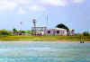
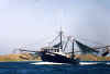
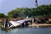
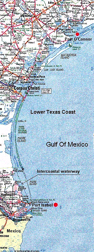
The Texas Gulf Coast has a series of barrier islands, behind which are various shallow bays and lagoons. Through these bodies of water, and sometimes through dry land, runs the Intracoastal canal. The Intracoastal Waterway, as it is also called, is a dredged channel 100 or more feet wide and 8 to12 feet deep, running inshore the entire 420 mile length of the Texas Coast. It is operated at considerable taxpayer expense to provide economical waterborne transportation for bulk commodities from Brownsville all the way to New Jersey. The ICW is supervised and maintained by the Corps of Engineers and the majority of the traffic is composed of tugs and barges. These photos were taken along the Intracoastal between Port Isabel on the south, and Port O'Connor,during a series of cruises.(see map below) Since these pictures may take a while to load, this photo essay is divided into three parts. Click on the thumbnail to view each part.
|